A comparison of mapping drones
Choosing the right UAV takes a lot of time and effort. To help companies and organizations make informed decisions, we aim to provide you with a guide on what numbers matter and how to interpret them. Learn what are the main differentiators in mapping performance and experience, and read on to discover a complete technical specification comparison.
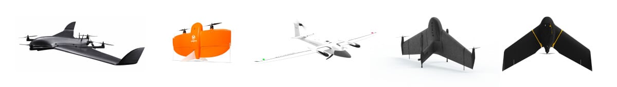
The platforms included are:
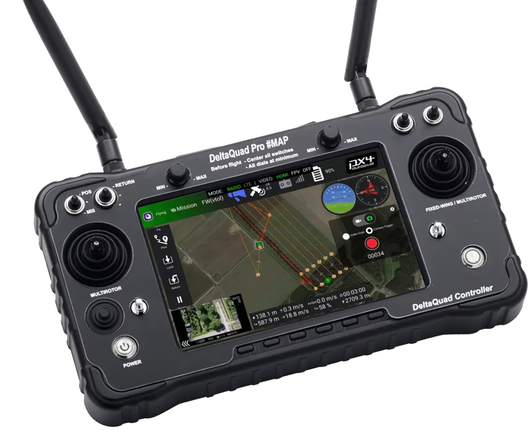
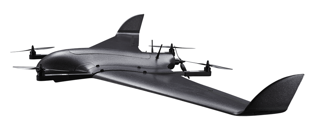
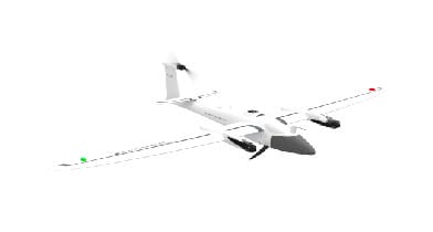
- The DeltaQuad Pro #MAP by DeltaQuad
- The WingtraOne Gen II by Wingtra
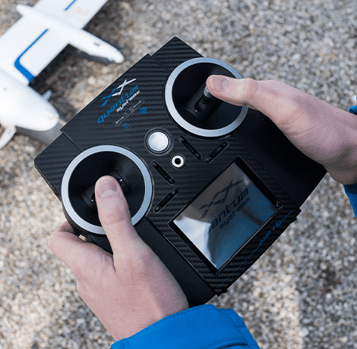
- The Trinity F90+ by Quantum Systems
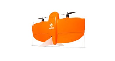
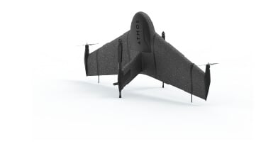
- The Marlyn by AtmosUAV
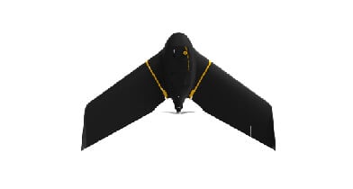
- The eBee X by SenseFly
Key differentiators in mapping
The most relevant technical aspects of any mapping drone are those that make your missions more efficient and of greater quality. After researching freely available information, we aim to provide an objective overview of such aspects to make your life easier.
Maximum image resolution
The maximum image resolution is an essential factor for a fixed-wing mapping UAV. Resolution refers to the level of detail that can be seen in the image. A higher resolution allows:
– Producing higher resolution results. High-resolution images provide more detail, allowing for a more accurate analysis of the subject matter. Detailed images that go into post-processing can be beneficial for a range of tasks, such as image analysis, object recognition, and 3D reconstruction. In fields such as geography, surveying, and engineering, accuracy is critical.
– Better post-processing and accuracy. Flying a drone at higher altitudes can allow you to cover more ground in a single flight. Yet, it can result in a decrease in spatial resolution. To maintain efficiency and a certain level of detail in your images, you need to increase the resolution of the camera, which will allow you to capture more detail in each pixel.
Maximum flight time
Maximum flight time is a critical consideration for mapping drones, as it directly impacts the efficiency and effectiveness of the mapping process. Longer flight times mean that the drone can cover more ground in a single flight, reducing the need for multiple flights and potentially decreasing the total time required to complete the project. In addition, longer flight times enable the drone to operate in remote or hard-to-reach areas where it may not be possible to recharge or swap batteries easily, providing greater flexibility and adaptability in the field.
It is important to note that the maximum flight time for fixed-wing drones depends on various factors, including altitude, wind conditions, payload, and battery capacity.
Maximum surveying area
The ability of a mapping drone to cover a larger area in a single flight can significantly improve the efficiency and accuracy of the mapping process. By covering larger areas in a single flight, mapping drones can reduce the need for multiple flights, saving time and resources. In addition, the ability to cover a larger area can also provide more comprehensive data and insights, which can be valuable for decision-making.
However, surveying area is not a predetermined value. It is determined by many factors, such as camera resolution, cruise speed, endurance, and lens options. To provide a rough estimate of the potential coverage area for any drone we suggest focusing on resolution and maximum fligh distance – two of the biggest factors.
Using simple calculations, we can estimate the performance of some of the fixed-wing drones. The values presented here are based on certain assumptions, including a 3 cm per pixel resolution and a 50% image overlap, which are commonly used in mapping applications. However, the actual coverage area achieved in a given project may vary depending on a range of factors, including weather conditions, terrain, and the project’s specific requirements. (1 hectare = 2.47 acres).
All necessary details in one place
Here are the critical technical aspects of fixed-wing drones that influence your mapping experience.
Need assistance?
Do you have any questions about mapping with a fixed-wing drone? We’re happy to help you and assist you in this process!
Disclaimer
The data in this comparison has been carefully verified across multiple sources. Should you find any inconsistency, please feel free to contact us.
No rights can be derived from this data.