:format(webp):no_upscale())
GIS Mapping
Evo Enterprise - Long-range UAVs for large-scale mapping
Mapping larger areas with fewer flights
Large-area surveys can require significant time and ground access when carried out using conventional methods.
Evo Enterprise combines long-endurance autonomous flight with high-resolution data capture to cover extensive areas from the air. Flexible sensor configurations provide geospatial data for mapping, measurement, modelling and analysis.
1
Benefits of GIS mapping drone
Long flight times and repeatable missions enable coverage of larger areas while maintaining consistent data capture across surveys.
Efficient mapping
High-quality data
Operational flexibility
2
GIS mapping applications
Different mapping projects require different datasets, from volume measurements and terrain models to environmental and infrastructure analyses.

1 - 5
3D volume calculations
2 - 5
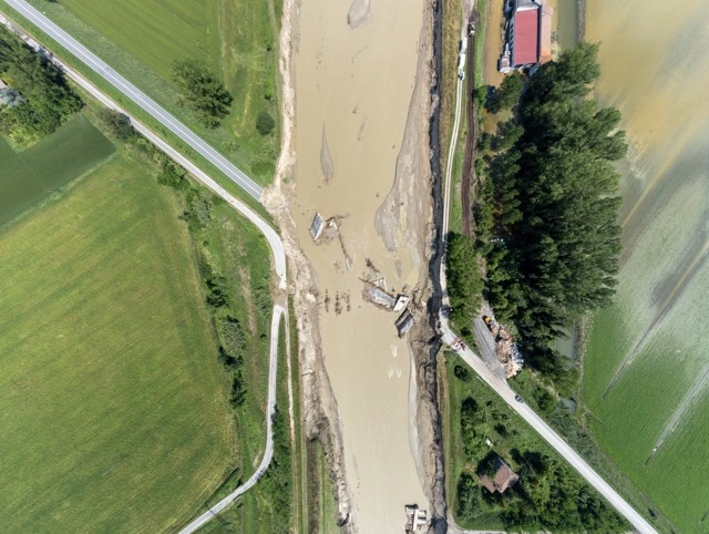
Environmental and Disaster assessment
3 - 5
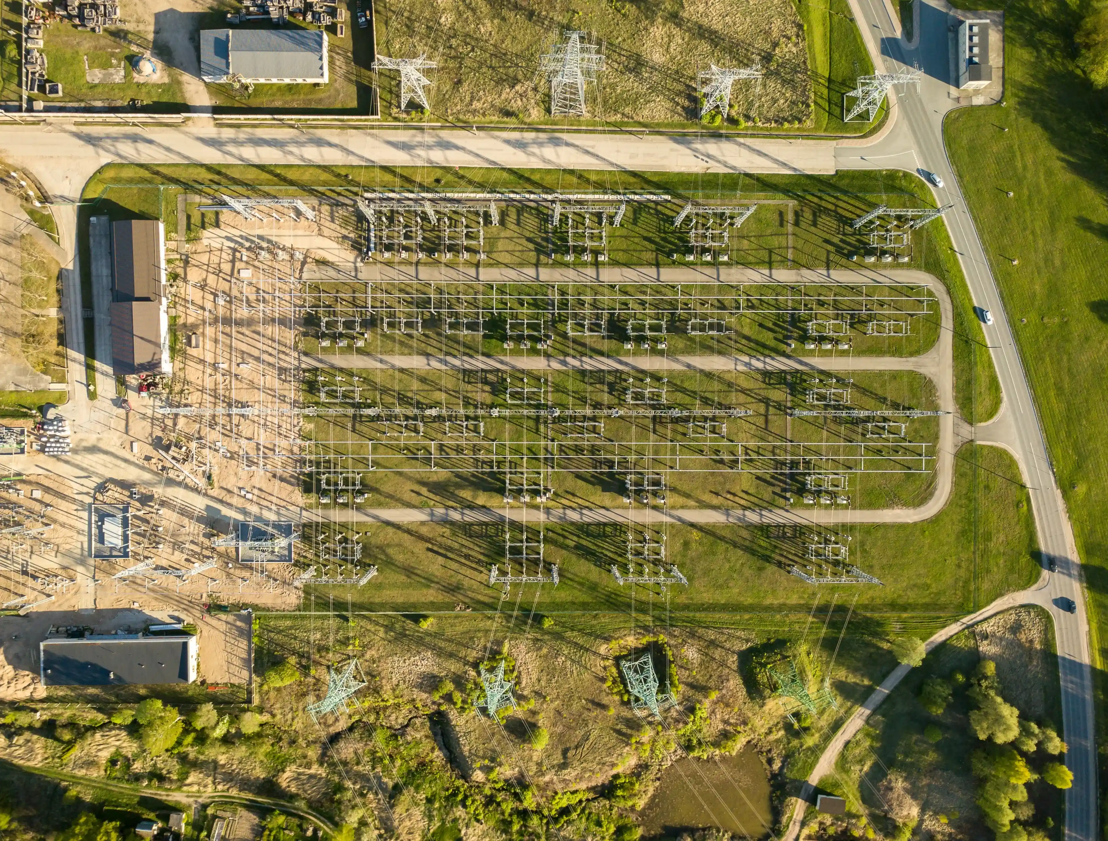
Infrastructure analysis

4 - 5
Environmental impact assessments

5 - 5
Logistics and operational support
3
GIS mapping outputs
A single flight can capture multiple types of geospatial data, producing maps and models for different GIS mapping requirements.
:format(webp):no_upscale())
RGB orthomosaic maps
Georeferenced RGB imagery creates a detailed map for measurement, planning and comparison between surveys.
:format(webp):no_upscale())
Digital elevation models
Elevation data records the shape and height of the terrain for drainage planning, slope analysis and site design.
:format(webp):no_upscale())
3D terrain models
Photogrammetry and LiDAR data create 3D models for terrain analysis, volume calculations and project planning.