:format(webp):no_upscale())
Rail and Road
Evo Enterprise - Long-range UAV for transport infrastructure inspection
Monitoring transport networks
Rail and road networks require regular inspection across long corridors, bridges and surrounding infrastructure. Ground-based checks can be slow, disruptive and difficult to repeat consistently.
Evo Enterprise combines long-range VTOL flight with dual payload capacity to inspect larger sections of the network in a single mission. Autonomous flight and mission-specific sensors provide consistent data for condition assessment, maintenance planning and monitoring over time.
1
Benefits of rail and road inspection drones
Long endurance and repeatable flight plans let you inspect more of the network per mission, with less time spent working on or alongside active transport routes.
Enhanced efficiency
Risk reduction
High-quality data
2
Operational applications
Drones can be used across transport networks for infrastructure checks, traffic monitoring and environmental surveys.

1 - 5
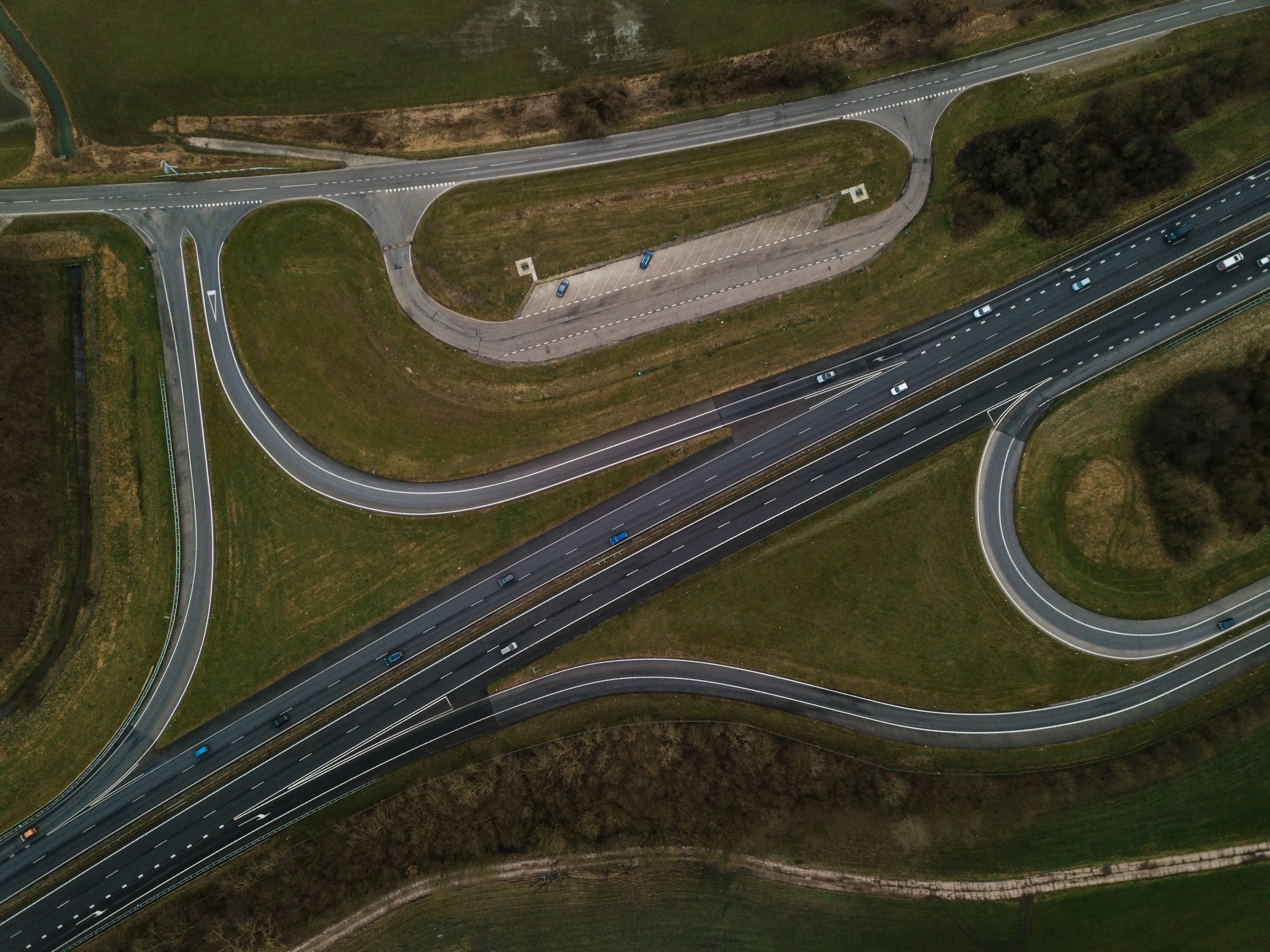
Infrastructure inspections
2 - 5
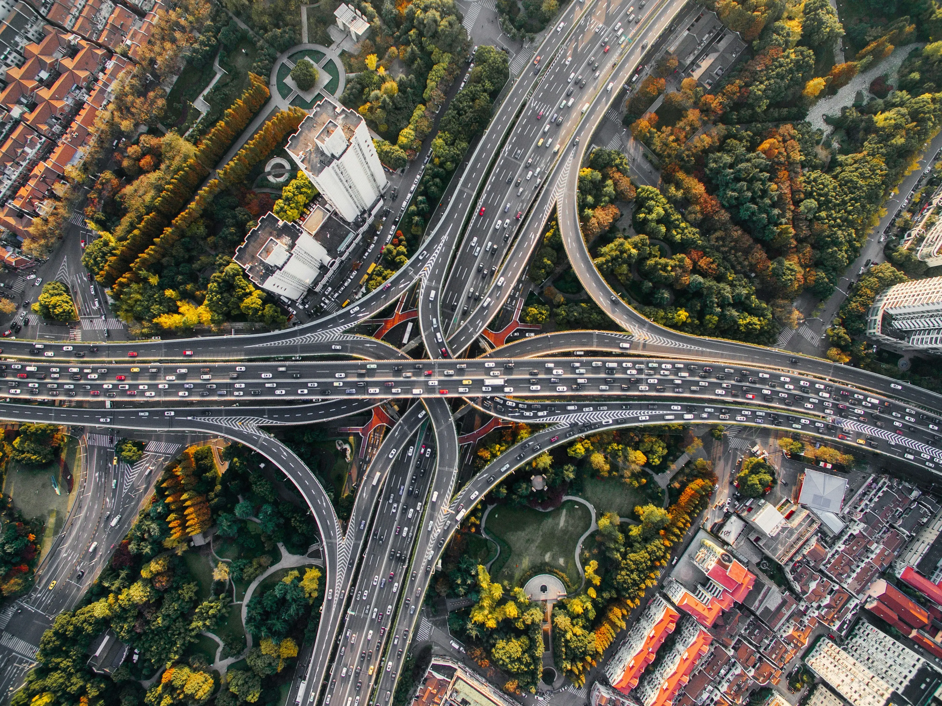
Road condition monitoring
3 - 5
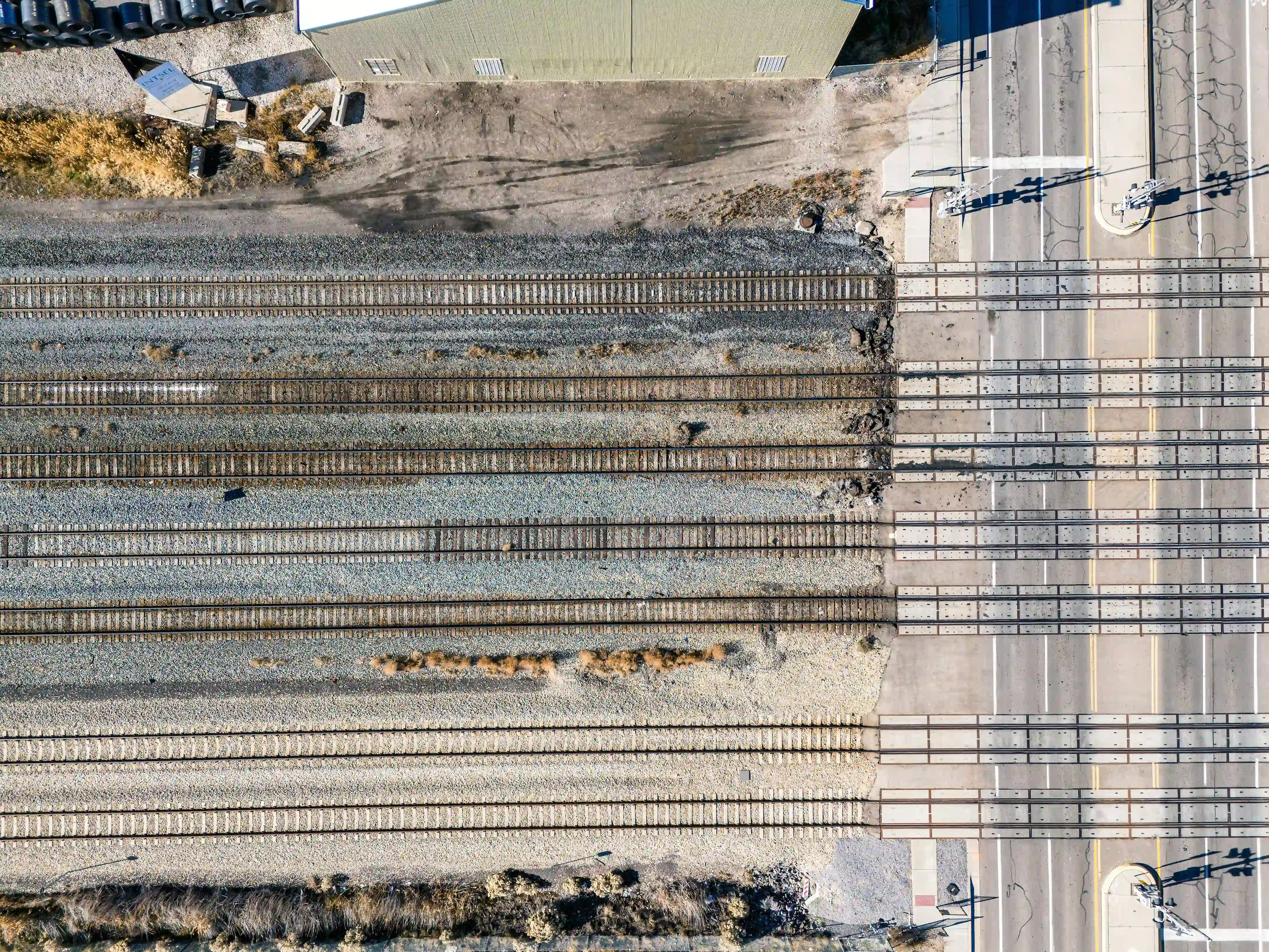
Traffic flow analysis
4 - 5
Emergency response and accident analysis

5 - 5
Environmental impact assessments
3
Rail and road inspection drone outputs
Different payloads capture visual, elevation and 3D data for infrastructure assessment, planning and comparison between missions.
:format(webp):no_upscale())
RGB orthomosaic maps
Georeferenced RGB imagery creates a detailed map of road and rail corridors for inspection, planning and comparison over time.
:format(webp):no_upscale())
Environmental assessments
RGB and LiDAR record terrain, vegetation and ground conditions along transport corridors for environmental assessment and maintenance planning.
:format(webp):no_upscale())
3D terrain models
LiDAR and photogrammetry create measurable 3D models for terrain analysis, clearance assessment and infrastructure planning.