:format(webp):no_upscale())
Utilities
Evo Enterprise - Long-range UAV for infrastructure monitoring
Monitoring infrastructure across long distances
Utility networks often span long distances and include infrastructure that is difficult, time-consuming, or hazardous to inspect from the ground.
Evo Enterprise combines long-range VTOL flight with flexible payload options for visual, thermal and LiDAR data collection. Utility inspection drones can cover larger sections of infrastructure from the air, supporting condition assessment, maintenance planning and ongoing network monitoring.
1
Benefits of utility inspection drones
Long-range drones for utility inspection cover extensive infrastructure with less ground access, reducing inspection time and personnel exposure around difficult or hazardous assets.
Enhanced safety
Reduced downtime
High-quality data
2
Operational applications
Drones for utility inspections can be configured for various tasks, from thermal inspections to corridor mapping and vegetation assessment.

1 - 4
Pipeline monitoring
2 - 4
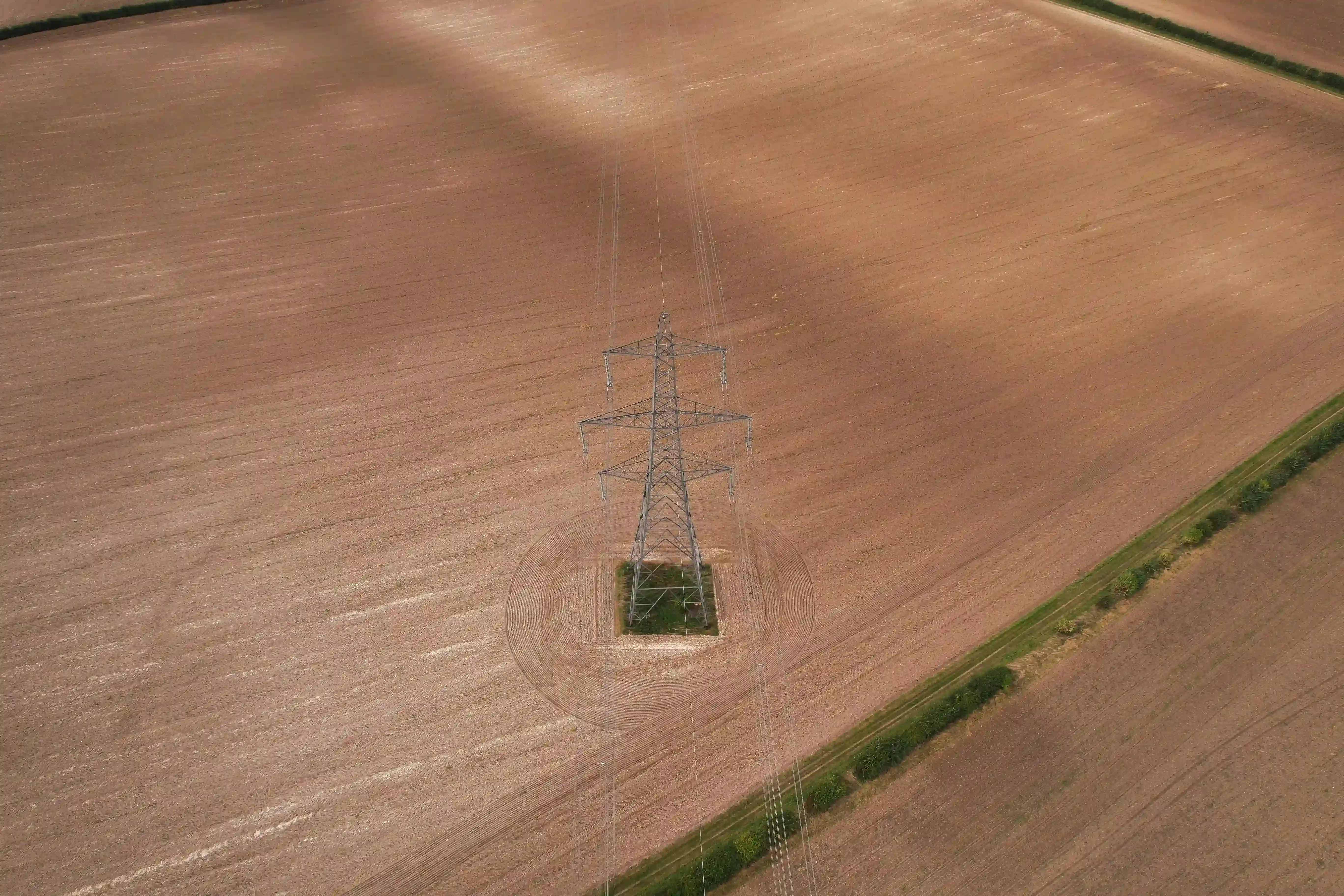
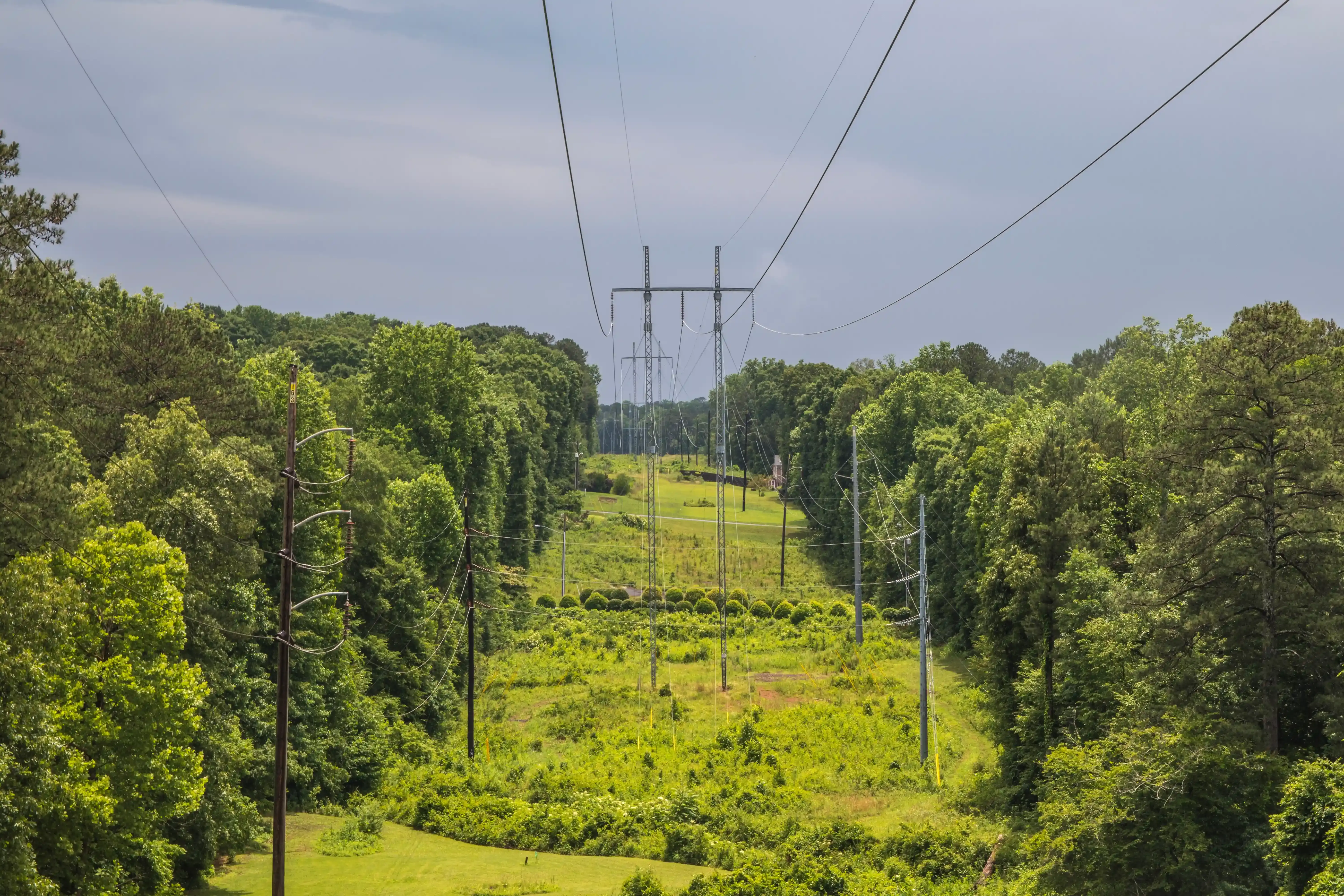
Power line inspection
3 - 4
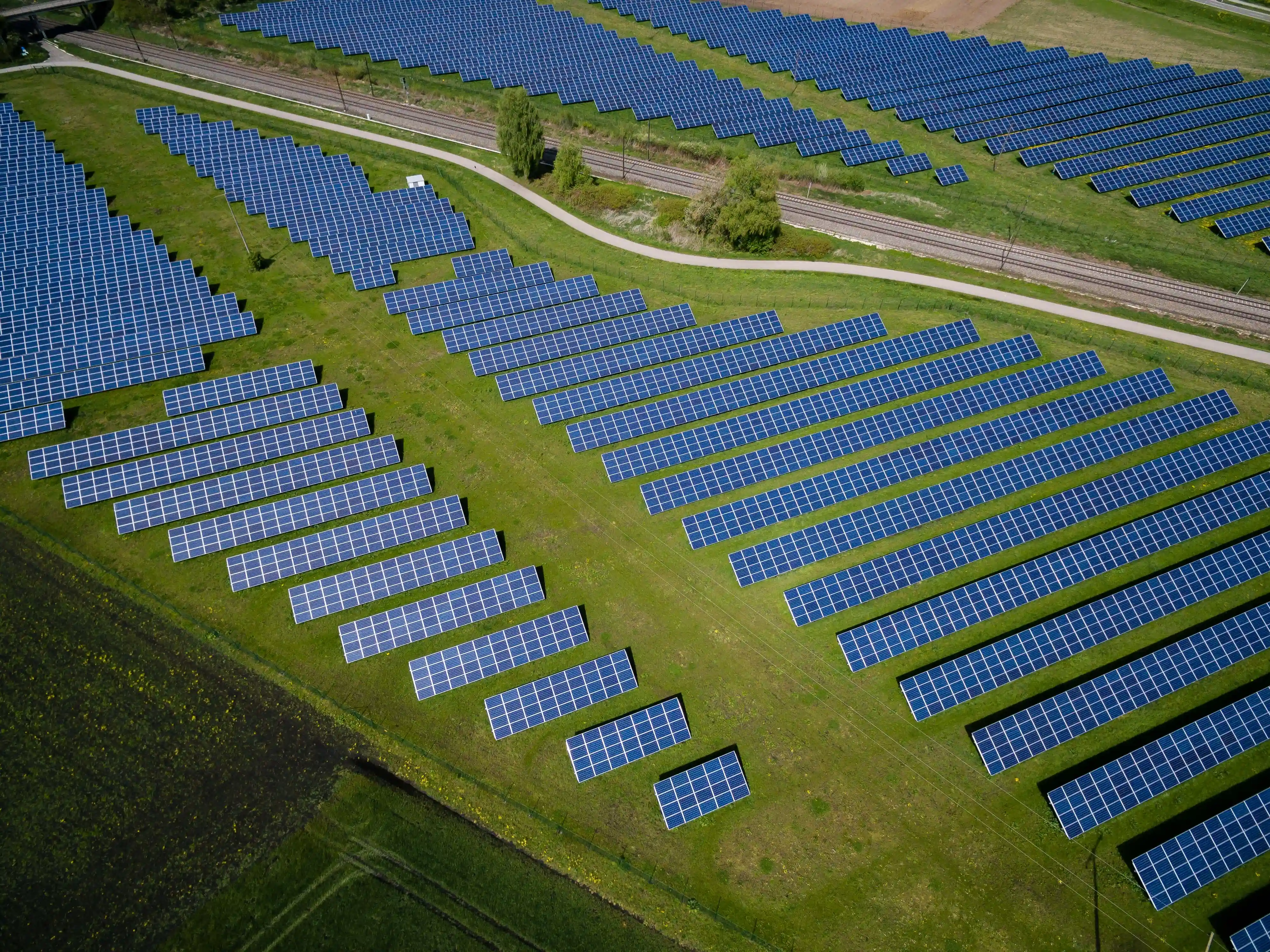
Solar panel inspection
4 - 4
Vegetation management
3
Utility inspection drone outputs
Utility inspection flights can produce visual, thermal and 3D datasets for condition assessment, maintenance planning and infrastructure monitoring.
:format(webp):no_upscale())
RGB orthomosaic maps
Georeferenced RGB imagery creates a detailed map of infrastructure and surrounding areas for inspection, planning and comparison over time.
:format(webp):no_upscale())
Thermal imaging
Thermal sensors show temperature differences across electrical equipment and other assets, giving teams another way to assess component condition.
:format(webp):no_upscale())
3D terrain models
RGB and LiDAR data create 3D models of infrastructure and surrounding terrain for clearance checks, planning and asset management.