UAV Mapping
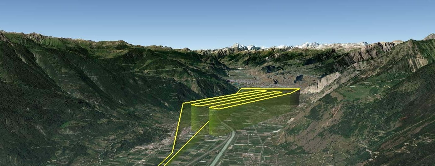
Unmanned Aerial Vehicle (UAV) Mapping is the process of gathering highly detailed aerial images using a UAV (or drone) equipped with a downward facing camera. The images are then processed to form an orthomosaic map or 3D point cloud. The data can be used for a variety of tasks such as the assessment of crop […]
Read More »