:format(webp):no_upscale())
Agriculture
Evo Enterprise - Long-range UAV for crop, livestock and land monitoring
Monitoring more from the air
Agricultural operations often span large areas with changing crop conditions, terrain and access. Evo Enterprise uses multispectral, thermal and RGB imaging to monitor crop health, assess irrigation needs and identify areas that require closer inspection.
Dual payload bays let operators use compatible lightweight sensors in the same flight, reducing configuration changes across large-area surveys. Long-endurance VTOL operation extends coverage across fields, forests and grazing areas without the need for runway infrastructure.
1
Benefits of agricultural drones
Agricultural drones reduce the groundwork needed to monitor large areas and make it easier to collect consistent crop and field data throughout the season.
Enhanced safety
More frequent data capture
Access difficult terrain
2
Operational applications
Agricultural drones support crop scouting, irrigation assessment, livestock monitoring and land management across large farming areas.
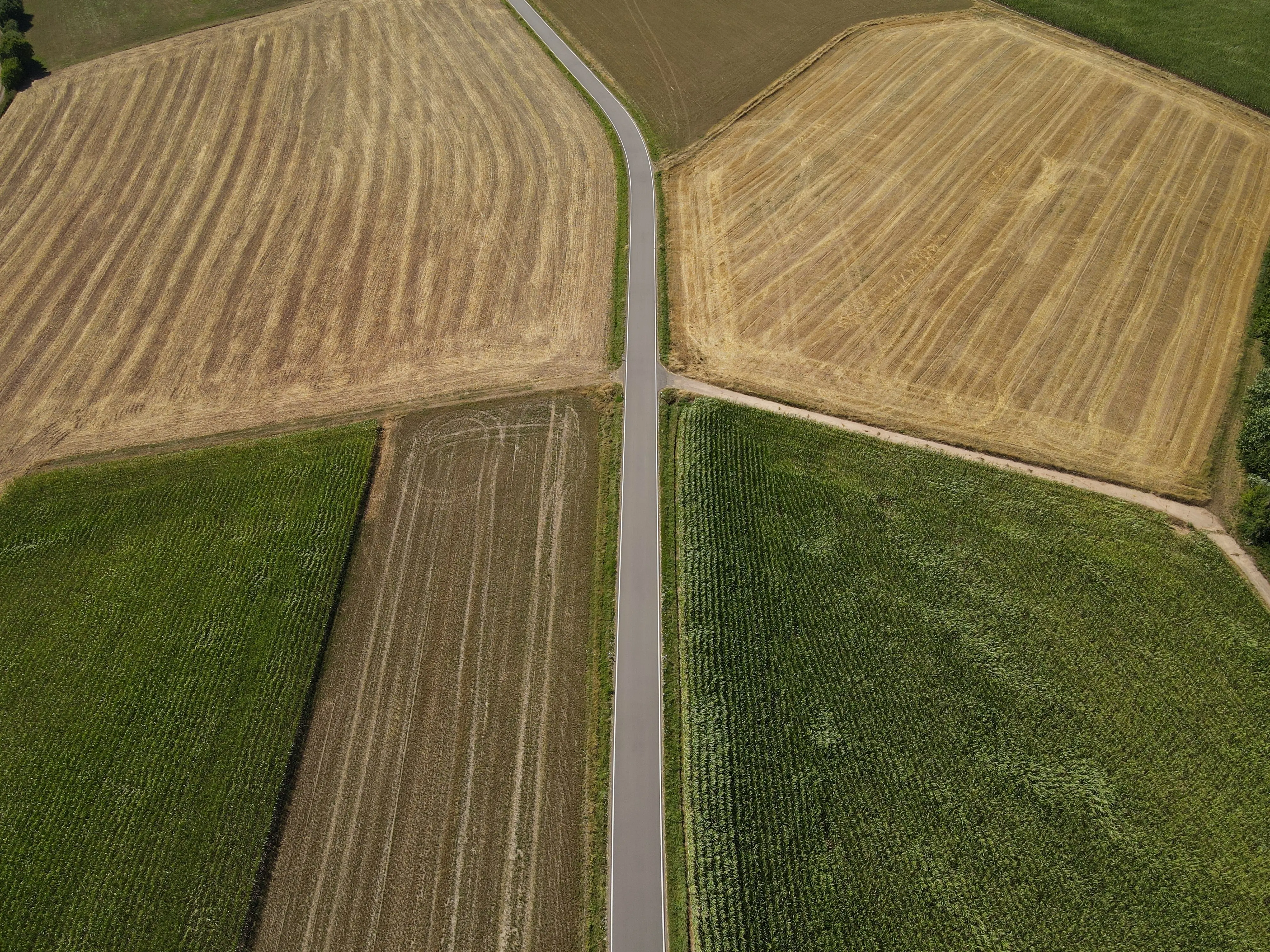
1 - 5
Crop scouting and yield estimation
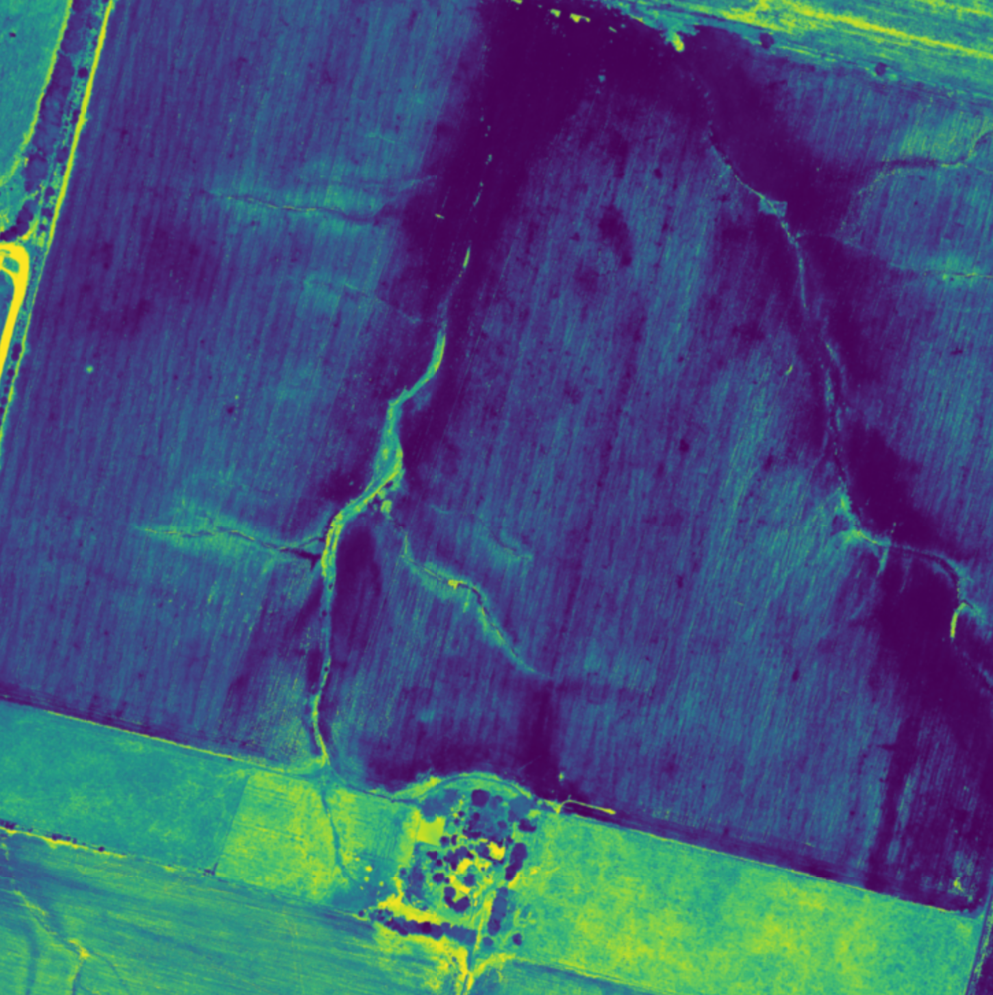
2 - 5
Irrigation and soil management
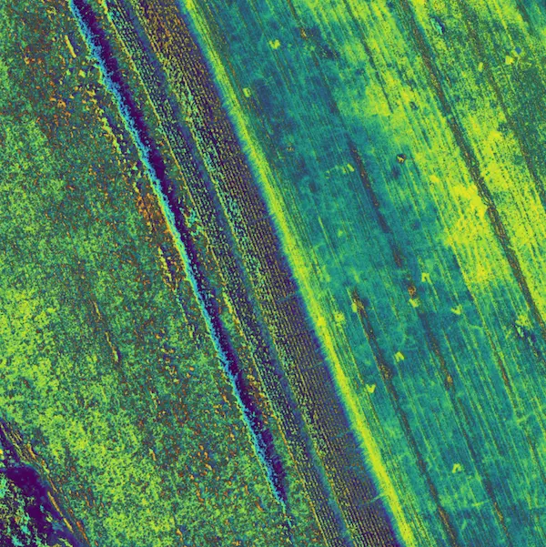
3 - 5
Vegetation mapping
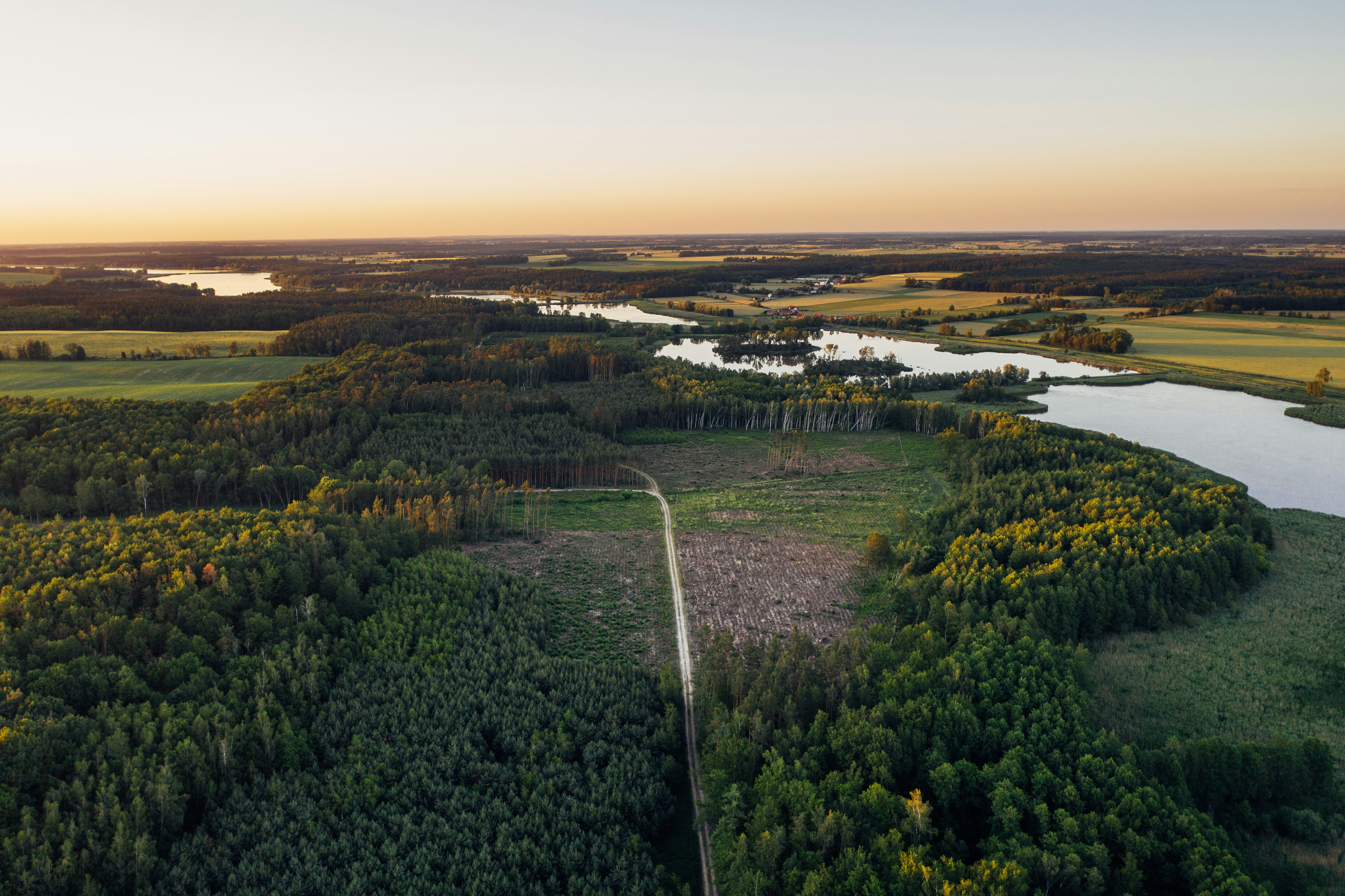
4 - 5
Forestry management
5 - 5
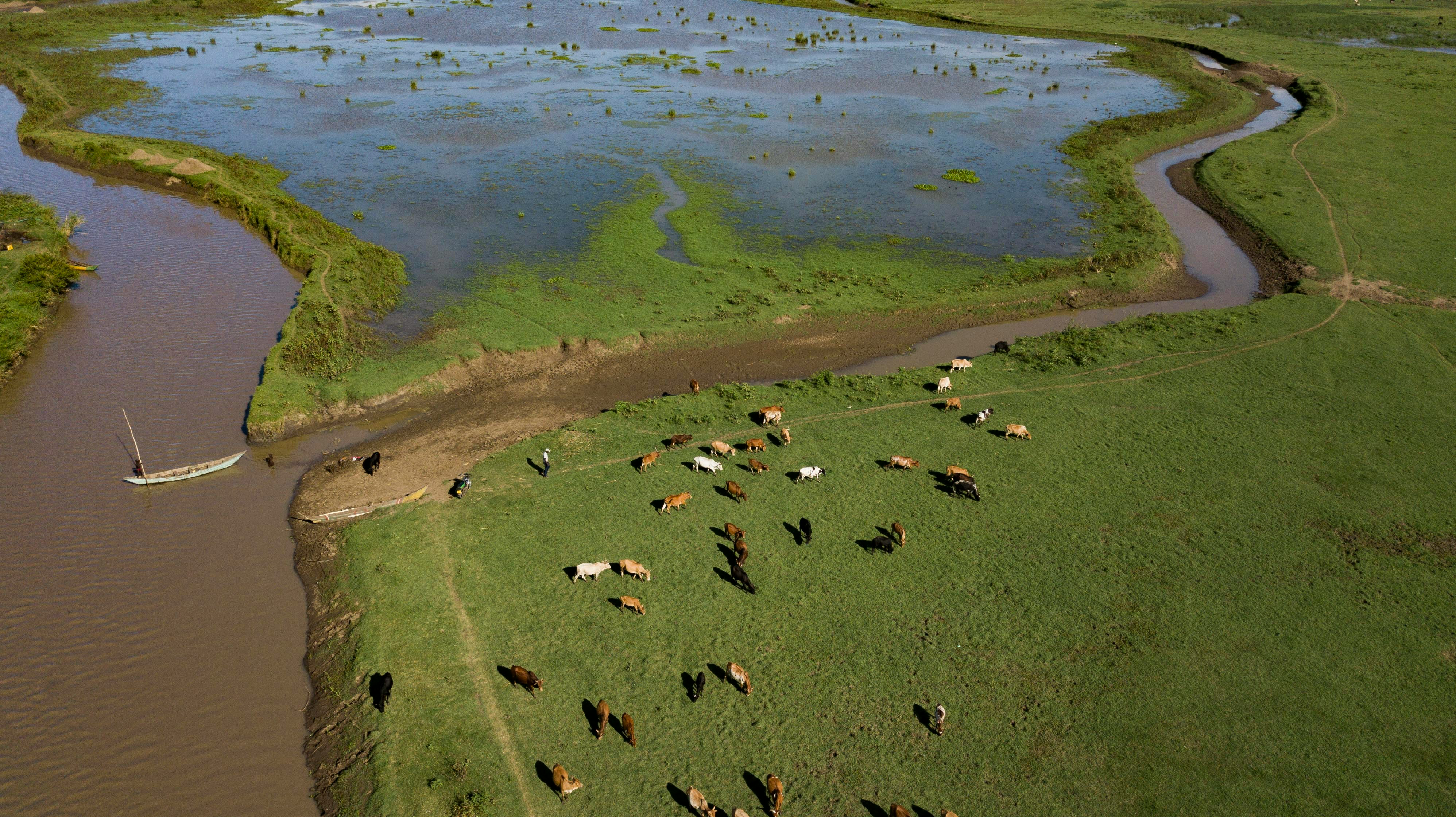
Cattle monitoring
3
Agricultural drone outputs
Different payloads capture visual, multispectral and thermal information for crop monitoring, mapping and comparison throughout the season.
:format(webp):no_upscale())
RGB orthomosaic maps
Georeferenced RGB imagery creates a detailed field map for crop scouting, planning and comparison between surveys.
:format(webp):no_upscale())
Multispectral imagery
Multispectral sensors record differences in vegetation reflectance to be used to assess crop condition and field variations.
:format(webp):no_upscale())
Analytical data
Processed and compared imagery can support crop assessment, yield estimation and field management decisions.