:format(webp):no_upscale())
humanitarian aid
Evo Government - Long range VTOL for disaster response and relief operations
Aerial support where access is limited
Governments and NGOs use aerial intelligence to assess environmental impact, monitor ecosystems, support disaster response and deliver essential supplies to hard-to-reach areas.
High-resolution imaging, dual-payload capacity and a payload-drop mechanism allow Evo Government to combine observation, mapping and delivery in humanitarian and environmental operations.
1
Benefits of humanitarian aid drones
Long flight times, autonomous operation and flexible payloads help teams cover wider areas, work from safer locations and respond as conditions on the ground change.
Enhanced safety
Simplified operations
Elevated accessibility
2
Operational applications
Aerial monitoring, mapping and payload delivery support work across conservation, disaster response and remote field operations.
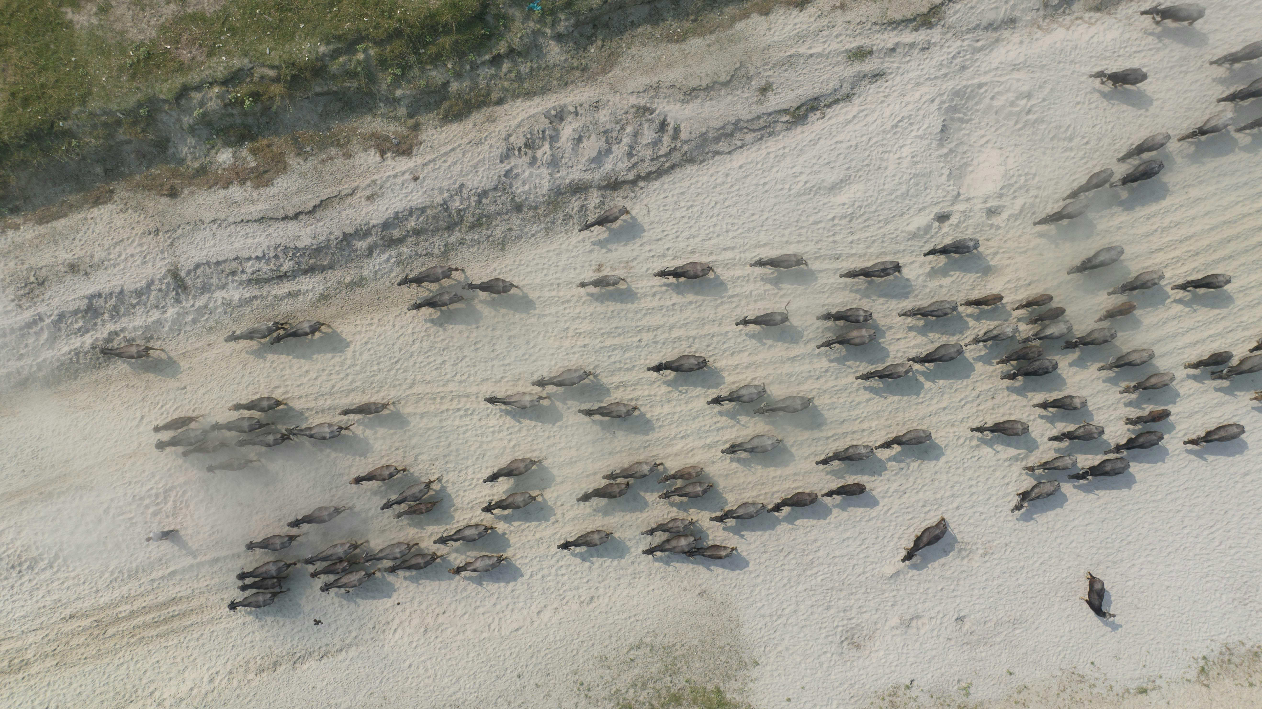
1 - 6
Wild animal conservation

2 - 6
Forest monitoring
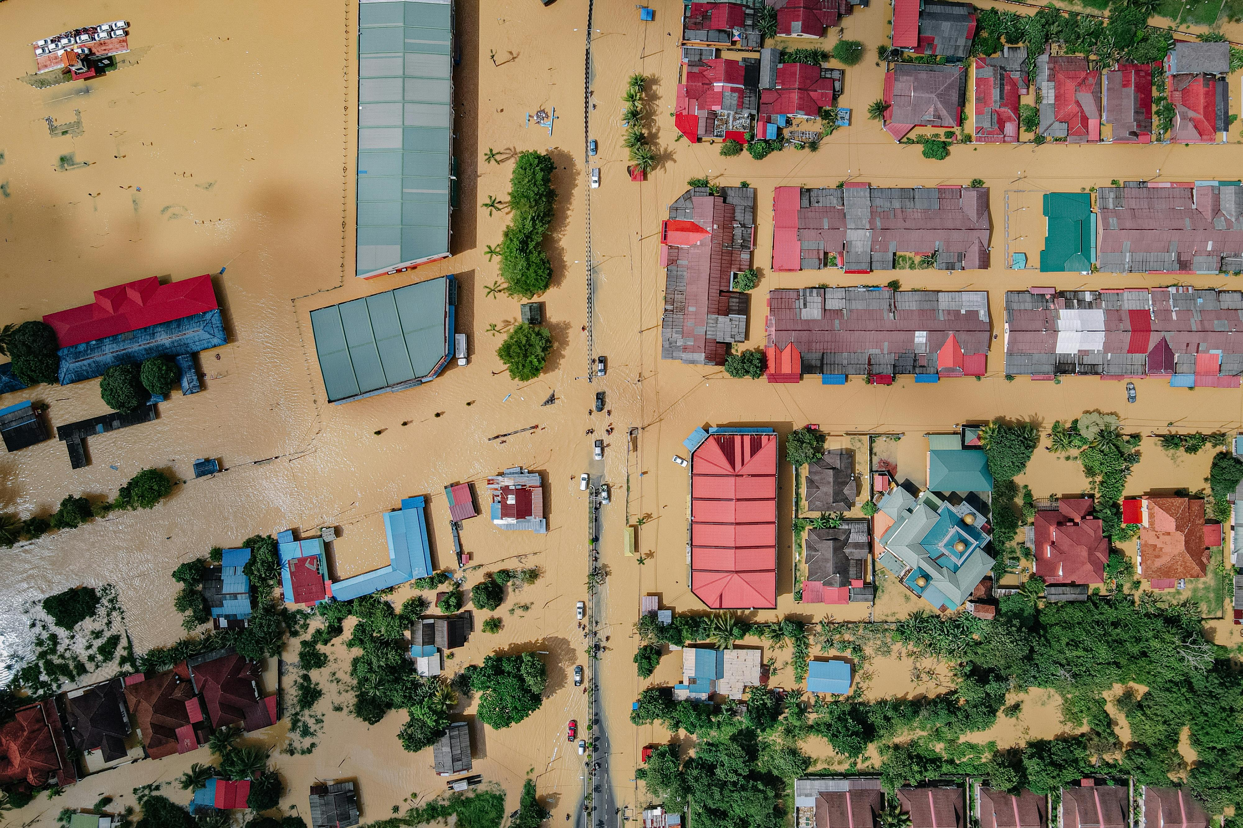
3 - 6
Environmental disaster response

4 - 6
Water and coastal research
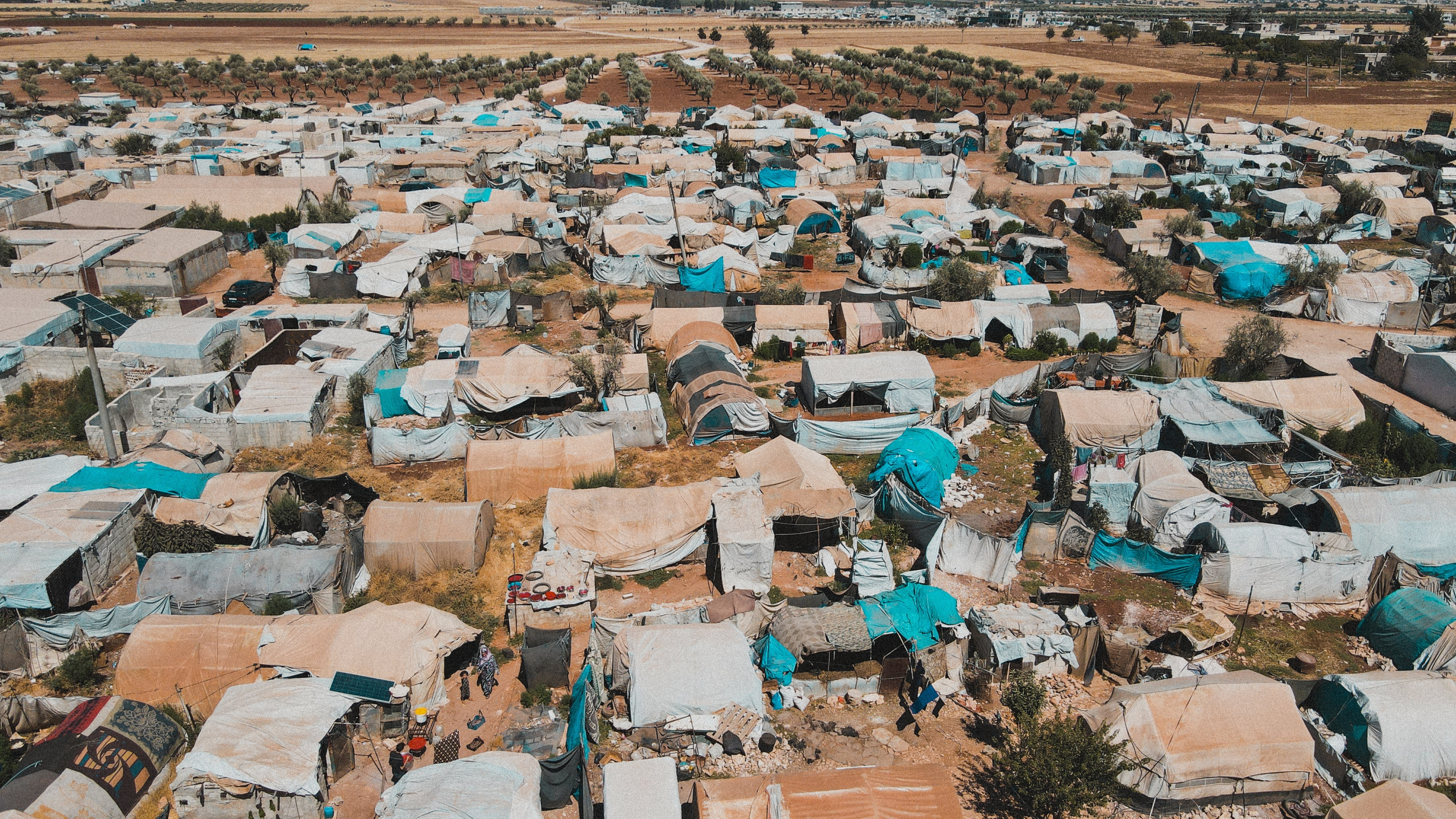
5 - 6
Sensitive area management

6 - 6
Humanitarian aid delivery
3
Humanitarian aid outputs
Aerial imagery, thermal data and mapping outputs support environmental monitoring, disaster assessment and humanitarian response.
:format(webp):no_upscale())
RGB orthomosaic maps
Georeferenced aerial imagery creates a detailed map for damage assessment, planning and comparison between missions.
:format(webp):no_upscale())
Live EO/IR imagery
Visual and thermal sensors provide live imagery for day and night observation, assessment and locating people or activity.
:format(webp):no_upscale())
3D terrain models
Aerial imagery and LiDAR data create 3D models for terrain assessment, route planning and environmental analysis.