1200 ha
Coverage at 1cm/px GSD
3300 ha
Coverage at 3cm/px GSD
61 MP
RGB mapping
The latest in RGB mapping
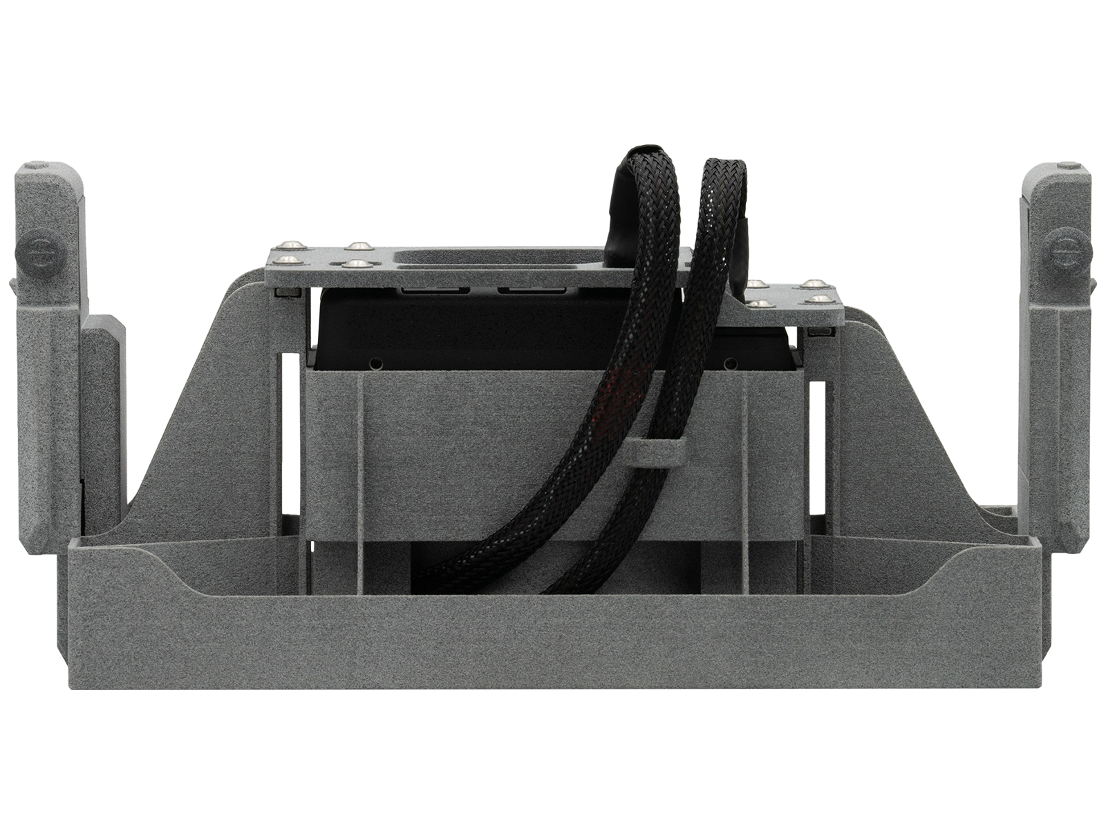
Sony ILX-LR1 provides multispectral and RGB imaging with its full-frame mirrorless design with a choice of 21, 24, or 35 mm lenses. Boasting a 61MP resolution, fast shutter speeds, and an expansive dynamic range, this payload achieves less than 1 cm/pixel resolution, establishing it as a cutting-edge option for generating unmatched orthomosaic outputs.
Camera specifications
Model name
Sony ILX-LR1
Camera type
Interchangeable lens digital camera
Image sensor
35mm full frame (35.7 x 23.8 mm), Exmor R CMOS sensor
Weight
243 g / 8.6 oz
Dimensions
100.0 x 74.0 x 42.5 mm / 4 x 3 x 1 11/16 inch
Resolution
61 MP
Power
10 to 18 V
Operating temperature
0 - 40 °C/ 32 - 104 °F
AgEagle Altum-PT
Advanced multispectral and thermal drone payload for agricultural insight
- 5 Multispectral bands
- 3.2 MPResolution per band
- 12.4 MPPanchromatic band

AgEagle RedEdge-P
Multispectral and RGB drone payload for mapping
- 5 Multispectral bands
- 1.6 MPResolution per band
- 5.1 MPPanchromatic band

AgEagle RedEdge-P Dual
Multispectral drone payload for mapping
- 10Multispectral bands
- 1.6 MPResolution per band
- 5.1 MPPanchromatic band

Agrowing ILX-LR1
Drone payload for heightening multispectral and RGB mapping capabilities
- 10x12 MPMultispectral bands
- 61 MPRGB mapping
- 700 mMax altitude

Sony ILX-LR1
The latest in RGB mapping
- 1200 haCoverage at 1cm/px GSD
- 3300 haCoverage at 3cm/px GSD
- 61 MPRGB mapping

Sony α7R IV
Drone surveying equipment ideal for precision multispectral mapping
- 1200 haCoverage at 1cm/px GSD
- 3300 haCoverage at 3cm/px GSD
- 10 fpsContinuous shooting

Let's talk about your project
Connect with a DeltaQuad Solutions Specialist to find the ideal payload(s) to get the most out of your vehicle.


